Tour du Mont Blanc Contour Map Print
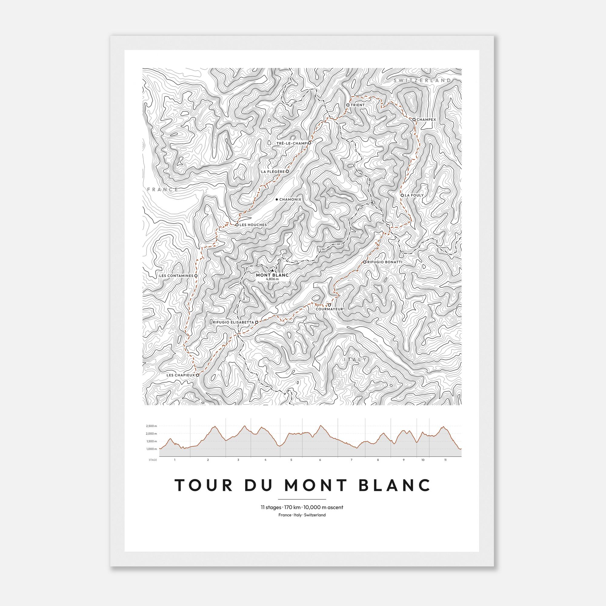
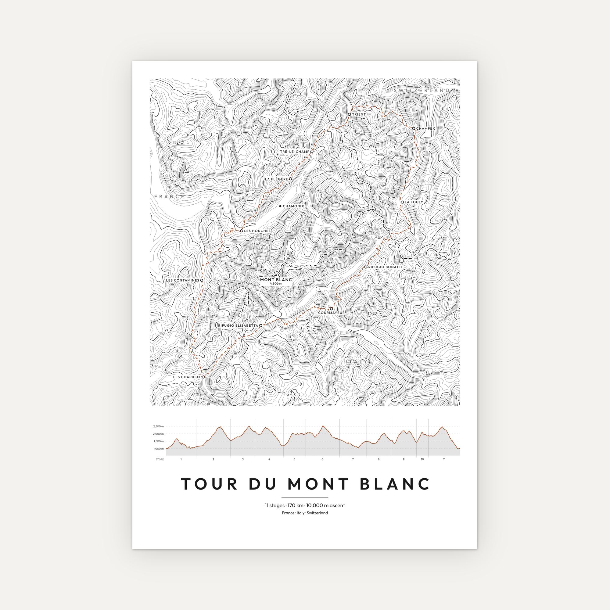
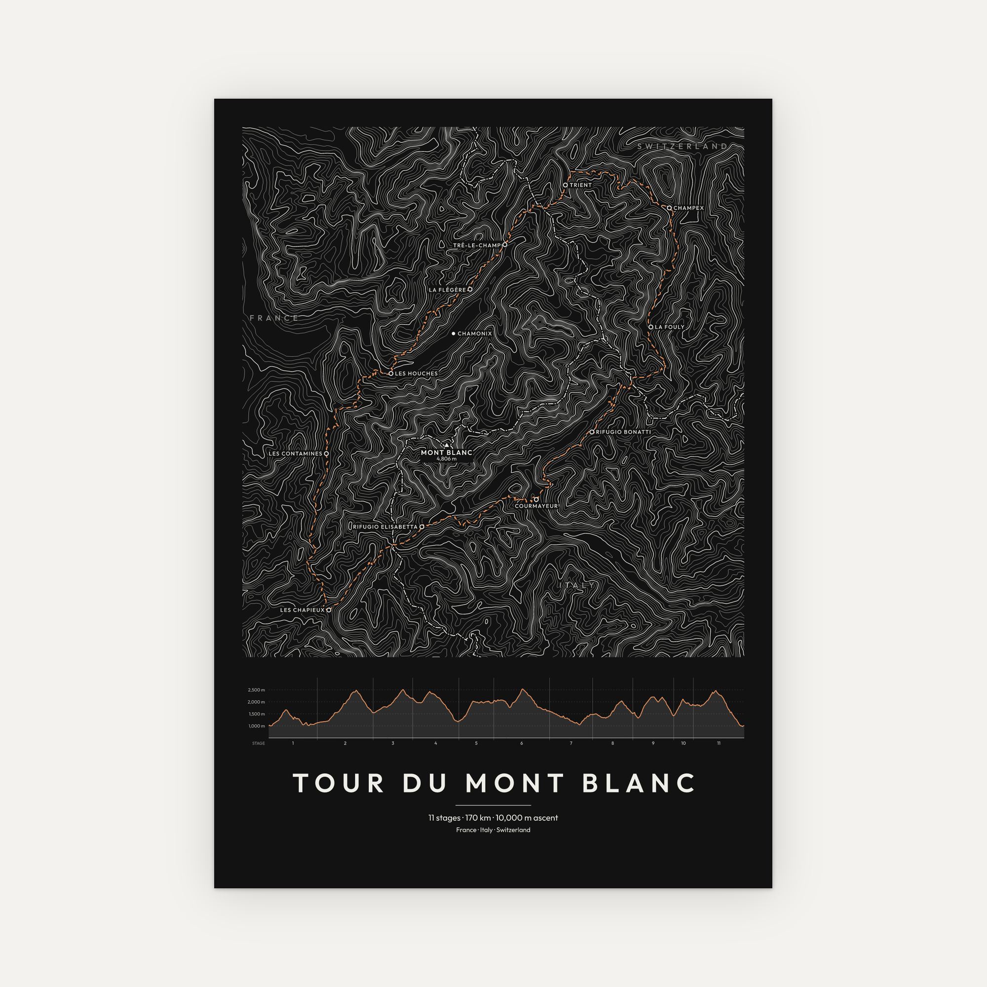
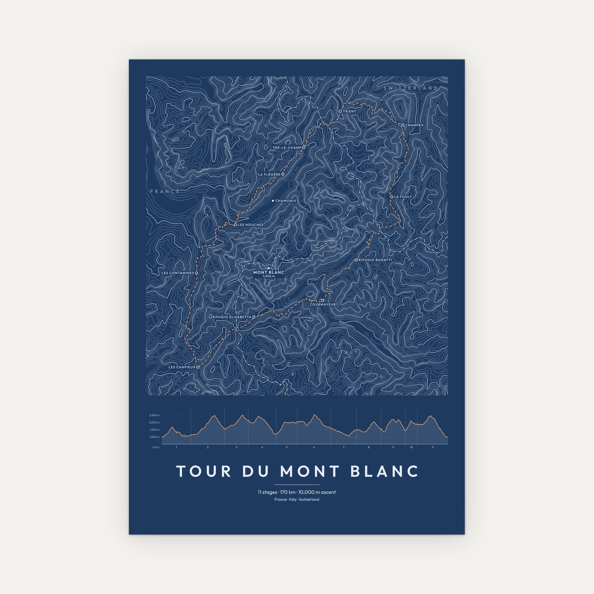
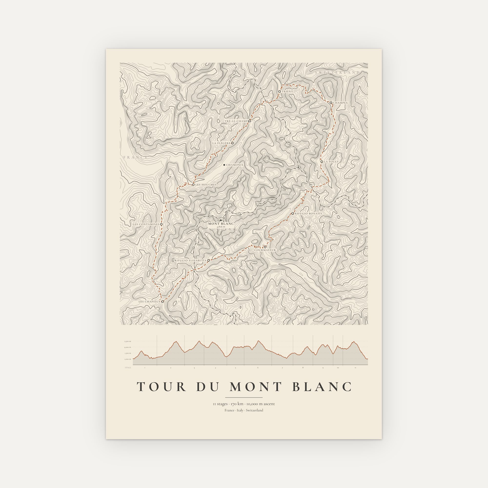
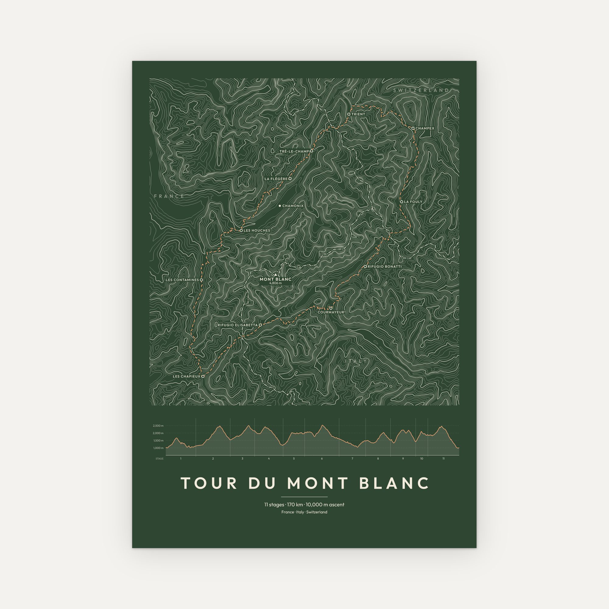
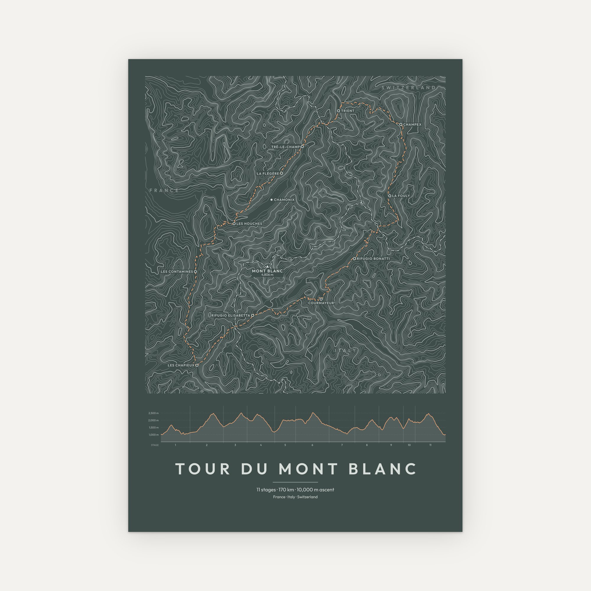
The great circuit of the Alps, drawn as a single sweep of contour lines. The Tour du Mont Blanc makes a full loop of the Mont Blanc massif, through France, Italy and Switzerland. From Les Houches it runs to Les Contamines and Les Chapieux. It then crosses the Col de la Seigne into Italy and drops down to Courmayeur. Next it follows the Val Ferret to La Fouly and Champex. Finally it returns to France by way of Trient and the balcony above the Chamonix valley.
Every contour is a step up in height, so the whole shape of the massif is there at a glance. For example, glaciers pour off Mont Blanc at 4,806 m, and deep valleys cut in on every side. Meanwhile, the high cols the route crosses sit between them. In addition, the eleven stages are traced as a fine dashed line. Each stage stop is named, and the national borders are marked too. Below the map, an elevation profile shows every climb and descent along the way.
Drawn from real elevation data. Printed to order in six colour styles and three sizes, unframed or in a solid wood frame ready to hang.
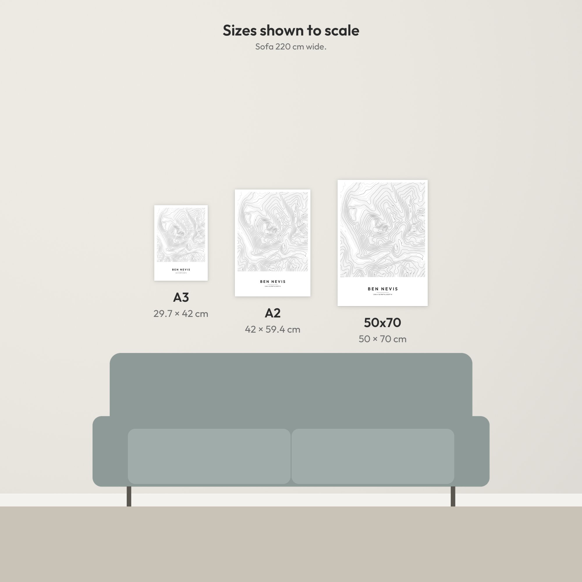
- Sizes: A3 (29.7 × 42 cm), A2 (42 × 59.4 cm), 50 × 70 cm
- Paper: 170 gsm matte, FSC-certified
- Frames: solid pine in four finishes (black, white, natural wood, dark wood), with a shatterproof clear front, ready to hang
- Delivery: free UK delivery, printed to order
About the route
The Tour du Mont Blanc is one of the best-known long-distance walks in the world. In general, it takes ten to twelve days. Rather than climbing the highest mountain in the Alps, it circles it, crossing a string of high passes instead. The highest of these is the Grand Col Ferret, at about 2,537 m. It is also where the route crosses from Italy into Switzerland.
Most people set out from Les Houches, near Chamonix. However, the loop can be started anywhere along the way. A print of the route is the perfect way to remember a great adventure. It also makes a great gift, for someone who has walked it or for anyone who keeps saying they will.
For the mountain itself, see our Mont Blanc contour map print. You can also browse more Alps mountain prints and all our wall art.
Terrain: produced using Copernicus WorldDEM-30 © DLR e.V. 2010-2014 and © Airbus Defence and Space GmbH 2014-2018 provided under COPERNICUS by the European Union and ESA; all rights reserved. Mont Blanc’s summit height from the official survey by the geometer-experts of Haute-Savoie, September 2023. National borders © OpenStreetMap contributors (ODbL). Decorative artwork, not for navigation. Terms and conditions.

Reviews
There are no reviews yet.