
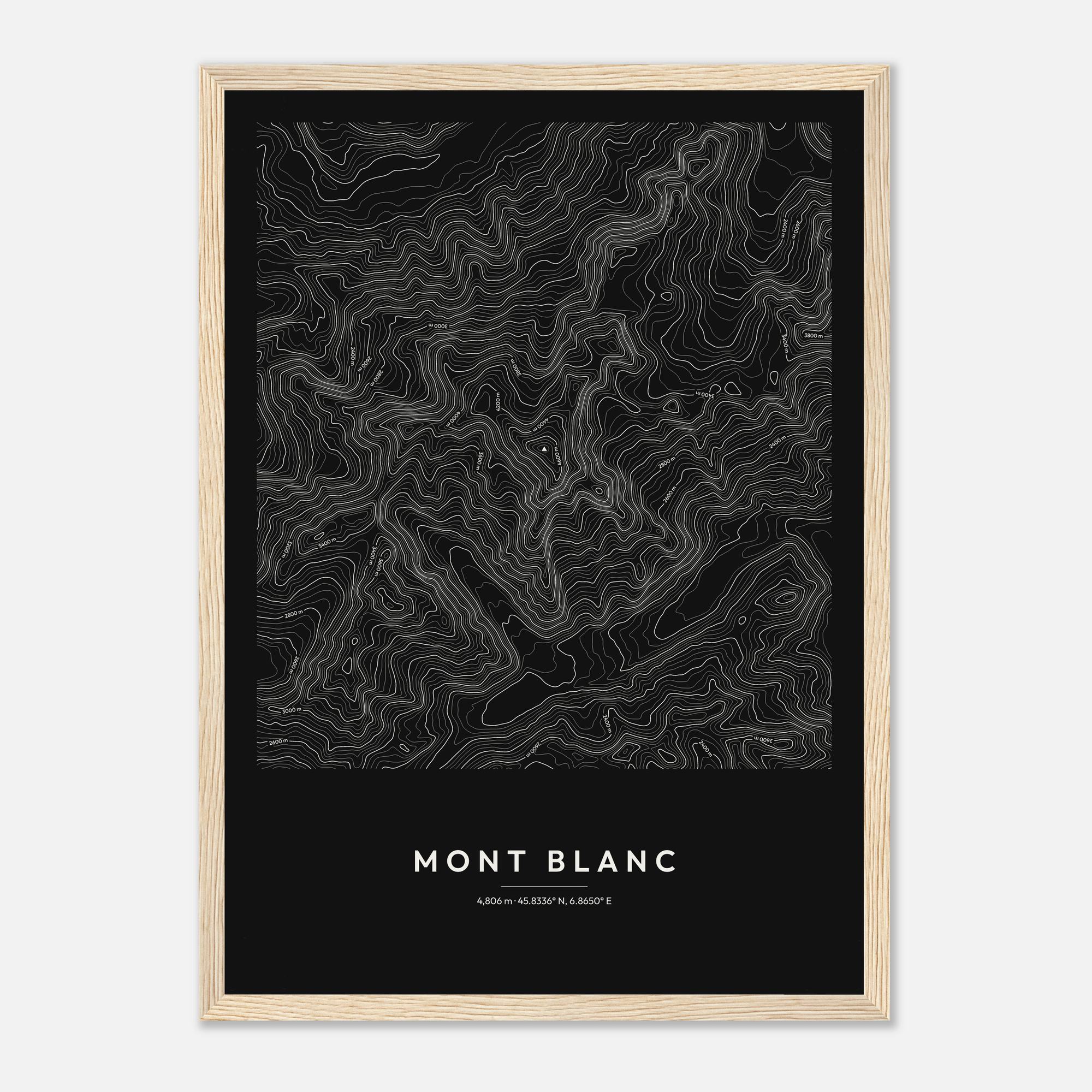
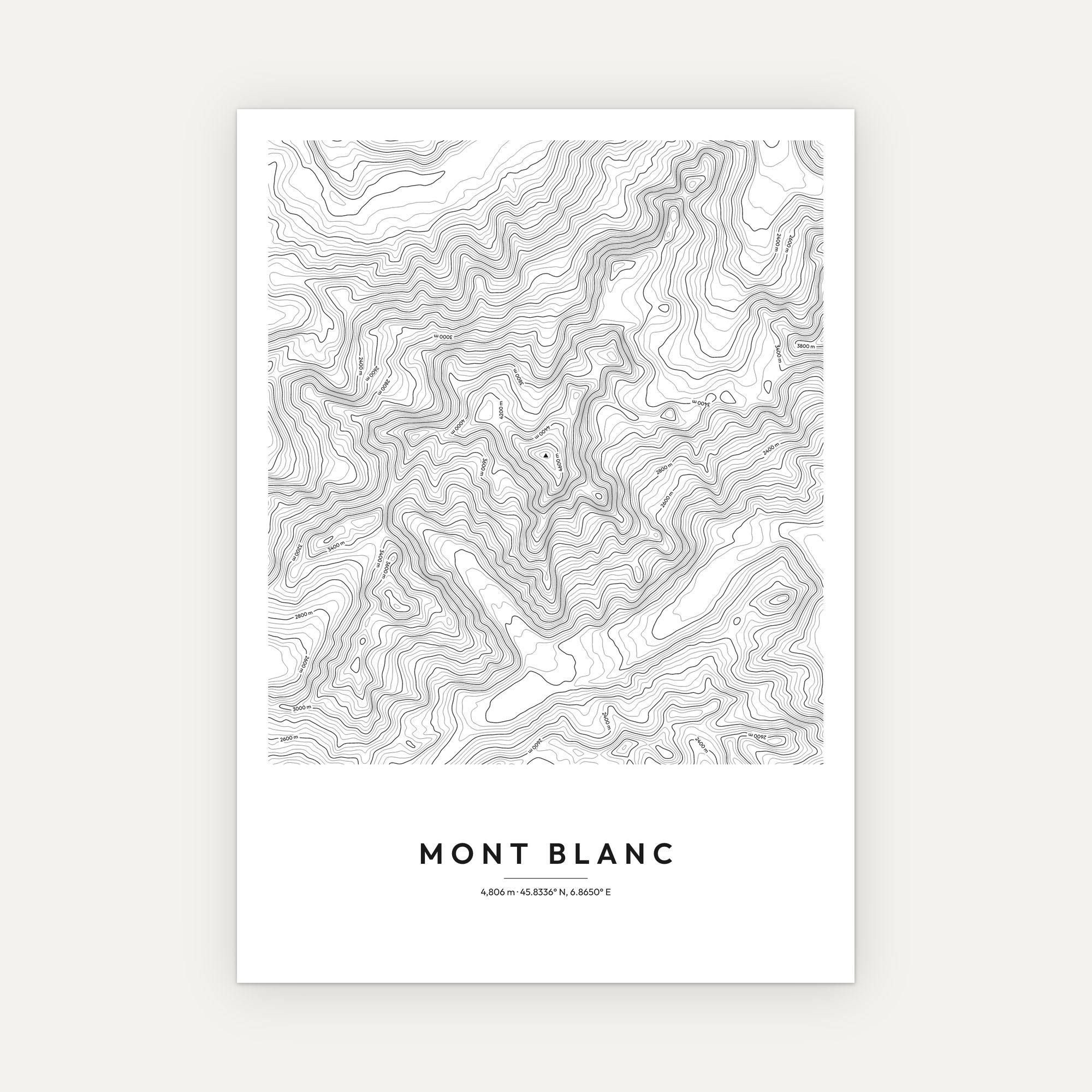
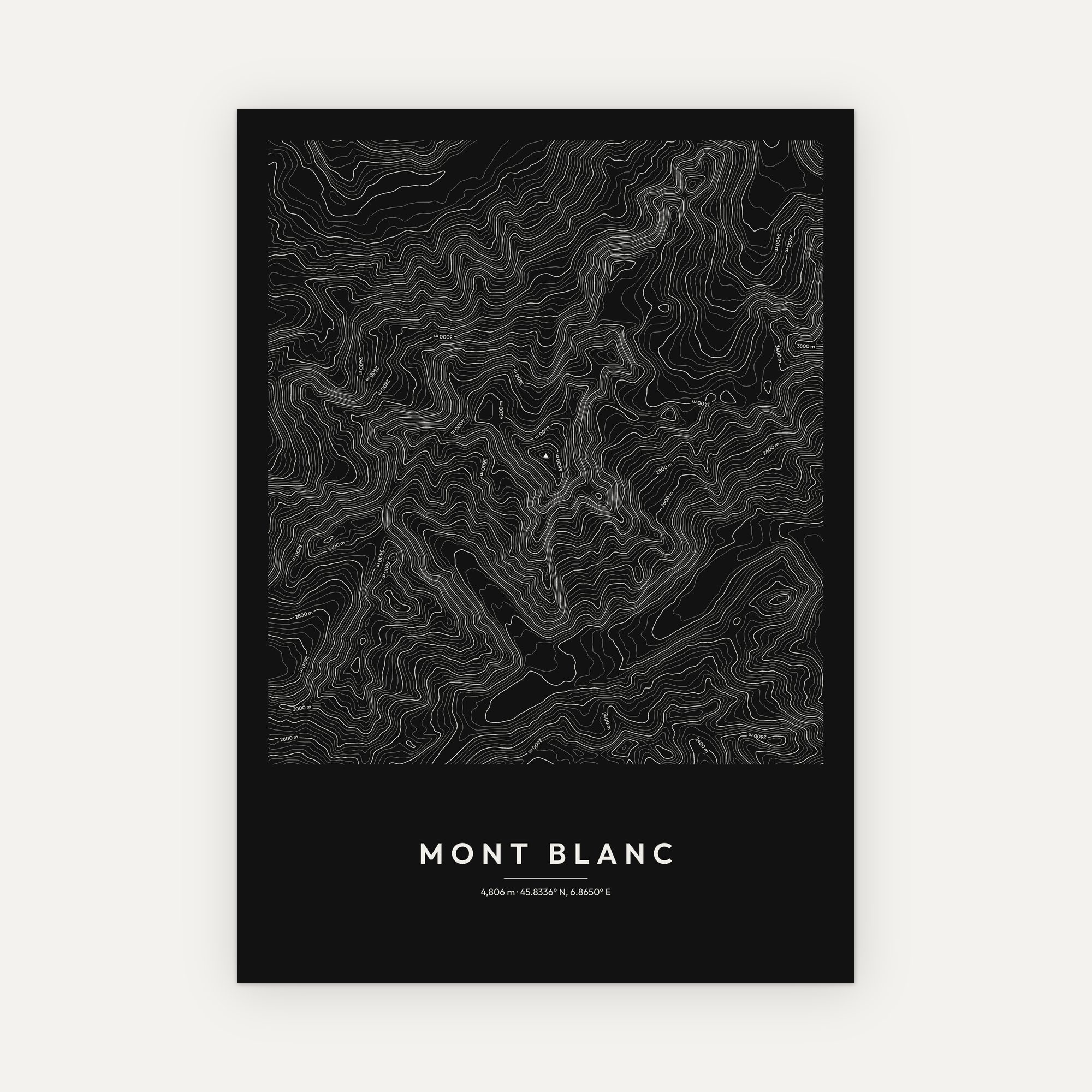
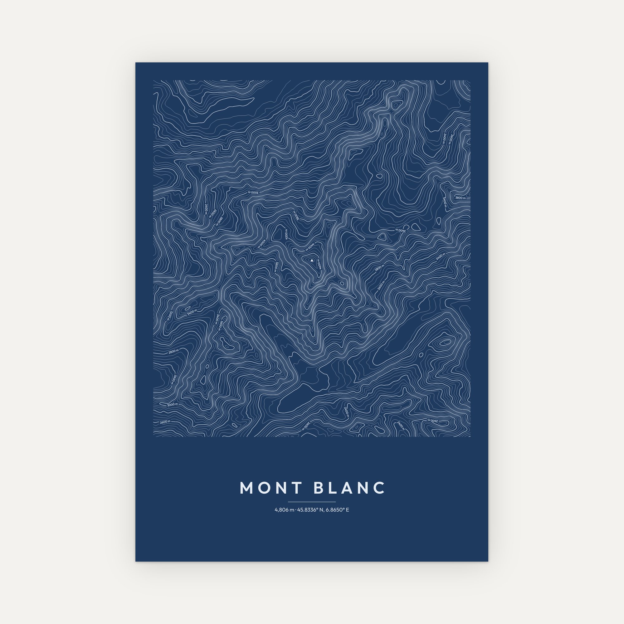
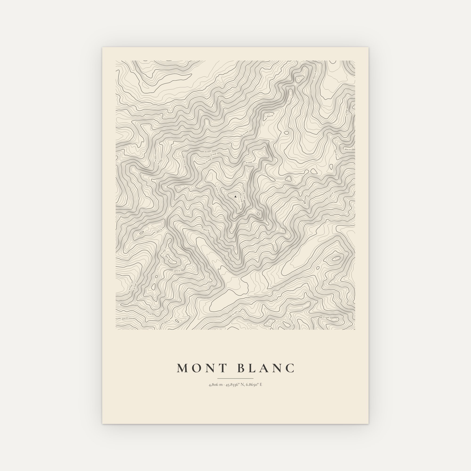
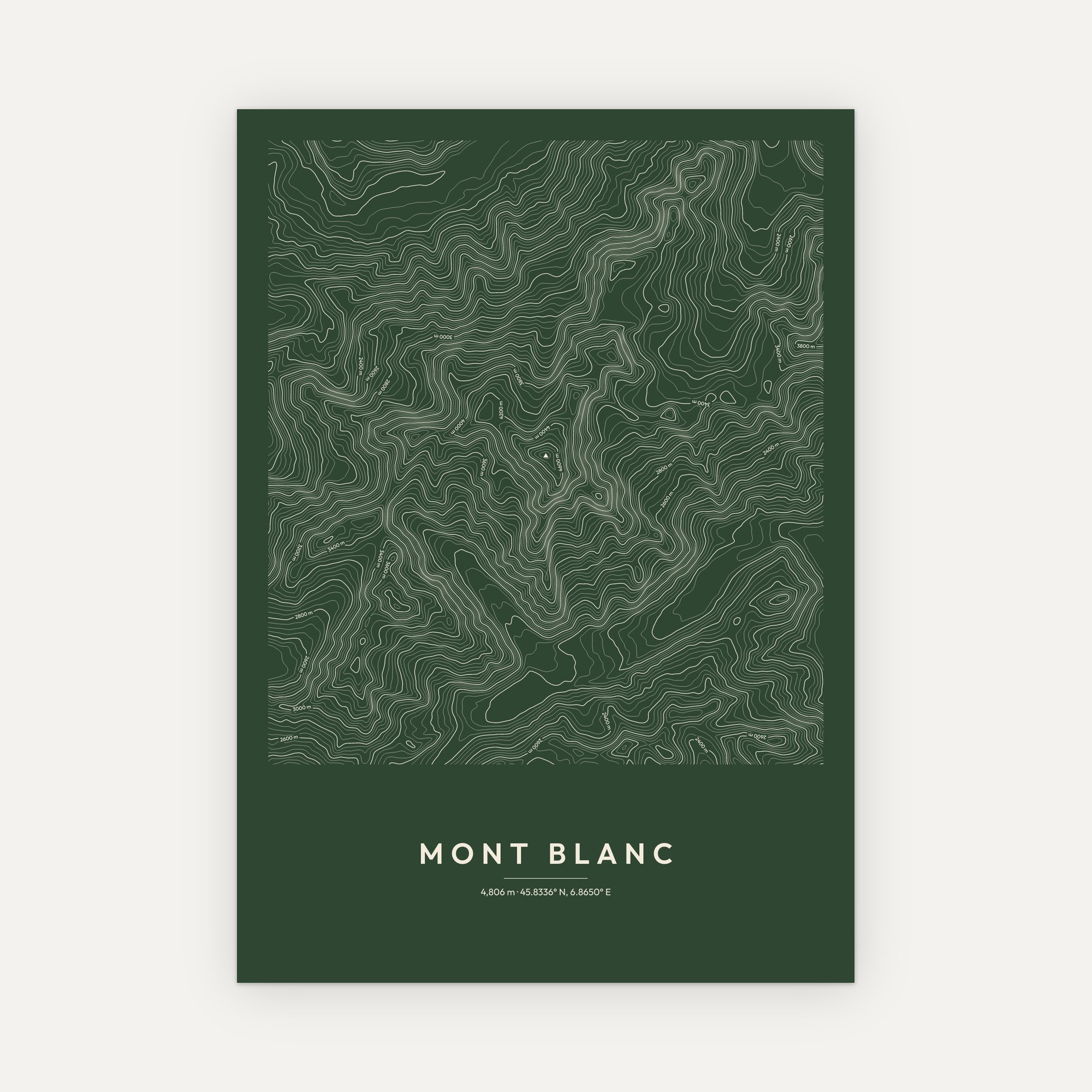
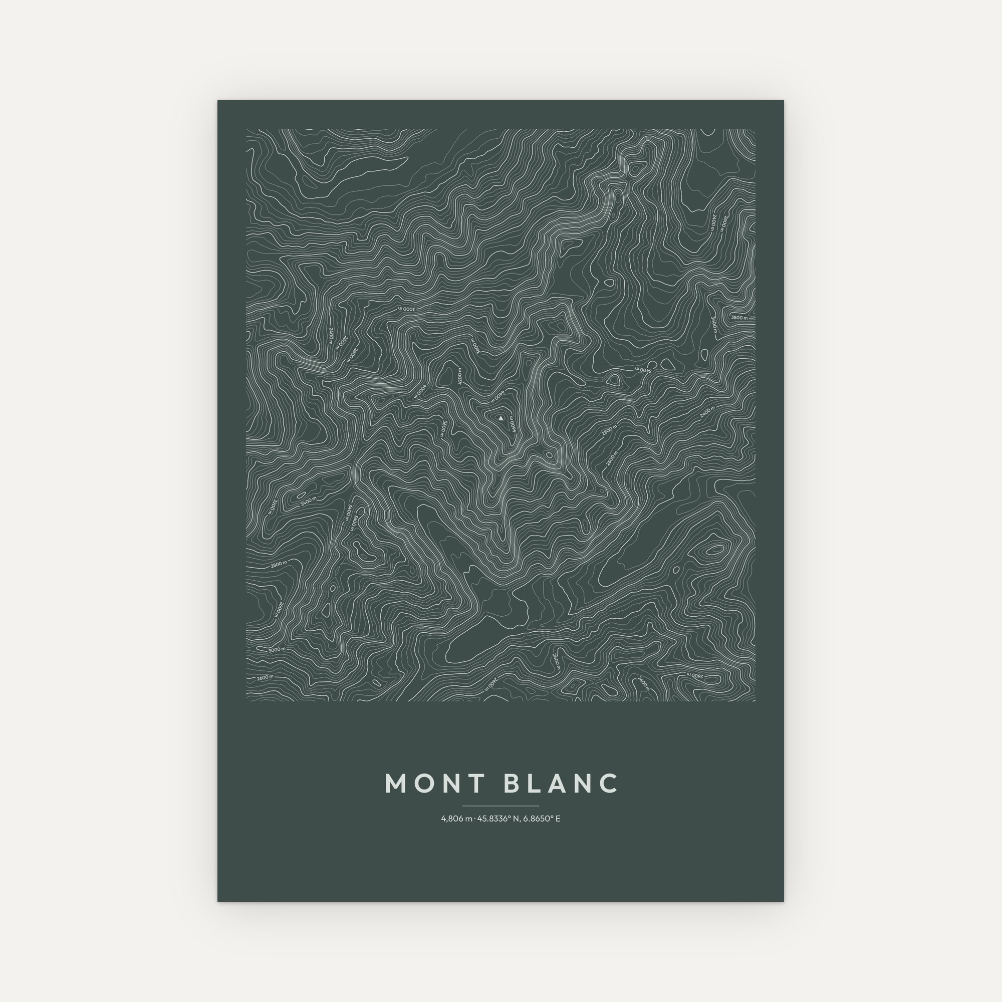
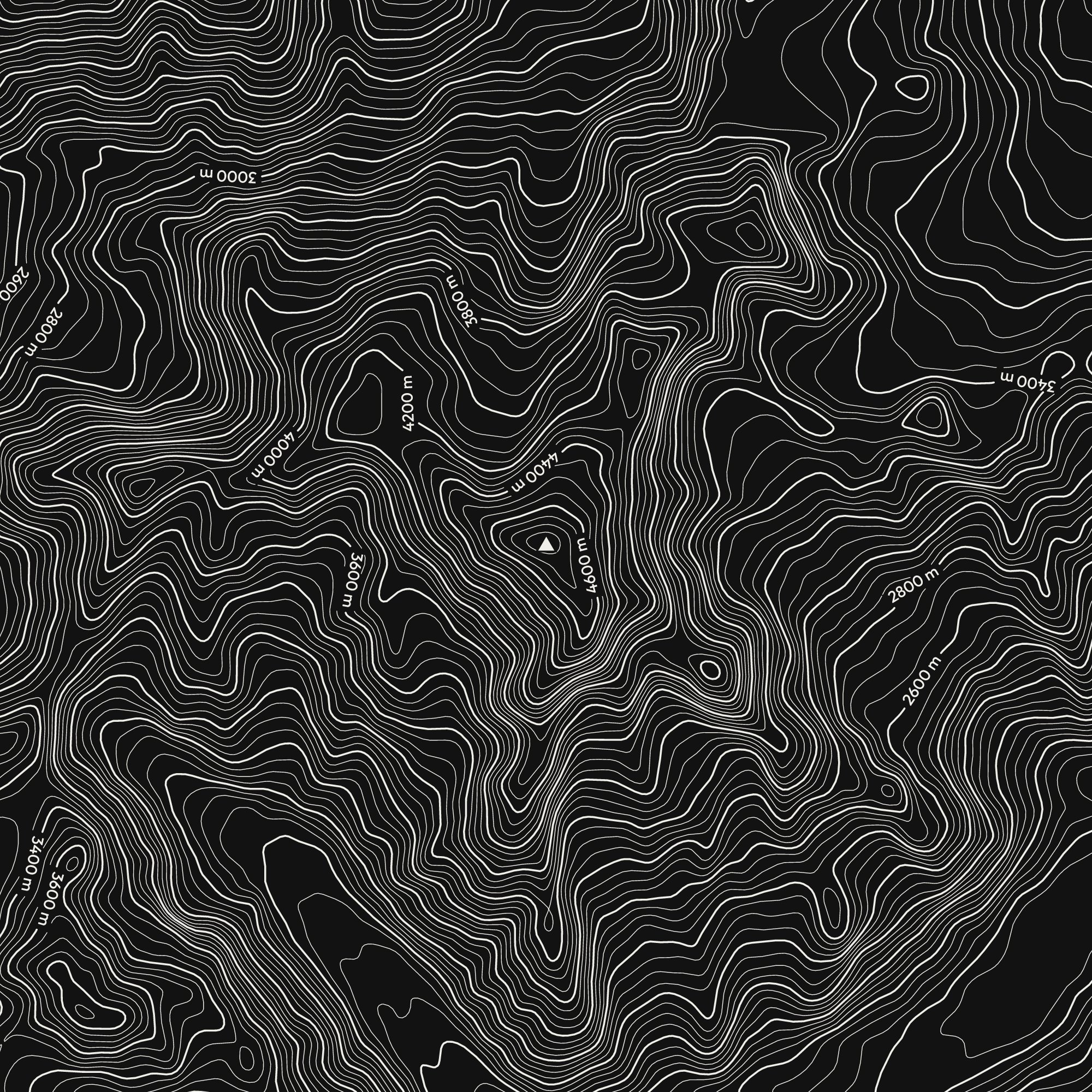
This Mont Blanc contour map print turns Mont Blanc into clean, flowing lines. In fact, every contour is a step up in height, so you can read the shape of the mountain at a glance.
About Mont Blanc
The highest mountain in the Alps, rising above Chamonix on the border of France and Italy. Its summit is a great dome of ice and snow whose height shifts with the weather, so surveyors measure it every two years; beneath the ice, the rock sits around 15 metres lower. Glaciers spill from every side, and the contours on this print trace the Bossons glacier tumbling towards the valley.
How we make the Mont Blanc contour map
First, we draw the contours from real elevation data. Then we take the summit height from a surveyed source, so the print is as accurate as it is decorative. Bolder lines also carry their heights along them, and a small triangle marks the summit itself. As a result, the print works both as a piece of art and as a record of the mountain.
Choosing your print
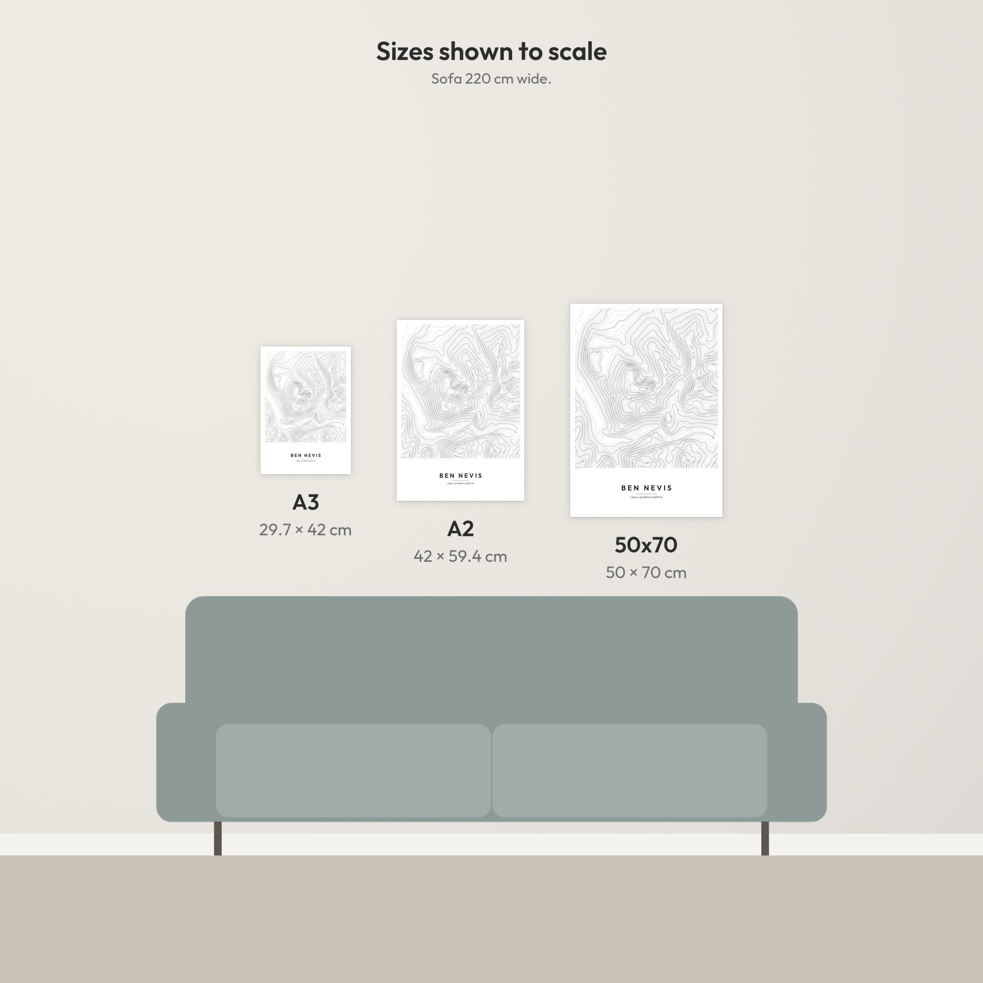
There are six colour styles: Minimal, Dark, Blueprint, Vintage, Forest and Slate. Each one comes in A3, A2 or 50 × 70 cm. You can also choose it unframed or in a solid pine frame in black, white, natural or dark wood. For example, Vintage suits a warm, traditional room, while Dark or Slate makes a bold statement on a pale wall. Finally, we print each one to order on quality matte paper, and every print has free UK delivery.
Explore more Alps mountain prints, or browse all our wall art.
- Sizes: A3 (29.7 × 42 cm), A2 (42 × 59.4 cm), 50 × 70 cm
- Paper: 170 gsm matte, FSC-certified
- Frames: solid pine in four finishes (black, white, natural wood, dark wood), with a shatterproof clear front, ready to hang
- Delivery: free UK delivery, printed to order
Terrain: produced using Copernicus WorldDEM-30 © DLR e.V. 2010-2014 and © Airbus Defence and Space GmbH 2014-2018 provided under COPERNICUS by the European Union and ESA; all rights reserved. Summit height from the official survey by the geometer-experts of Haute-Savoie, September 2023. Mont Blanc’s ice summit rises and falls with the weather and is re-measured every two years. Decorative artwork, not for navigation. Terms and conditions.
Reviews
There are no reviews yet.