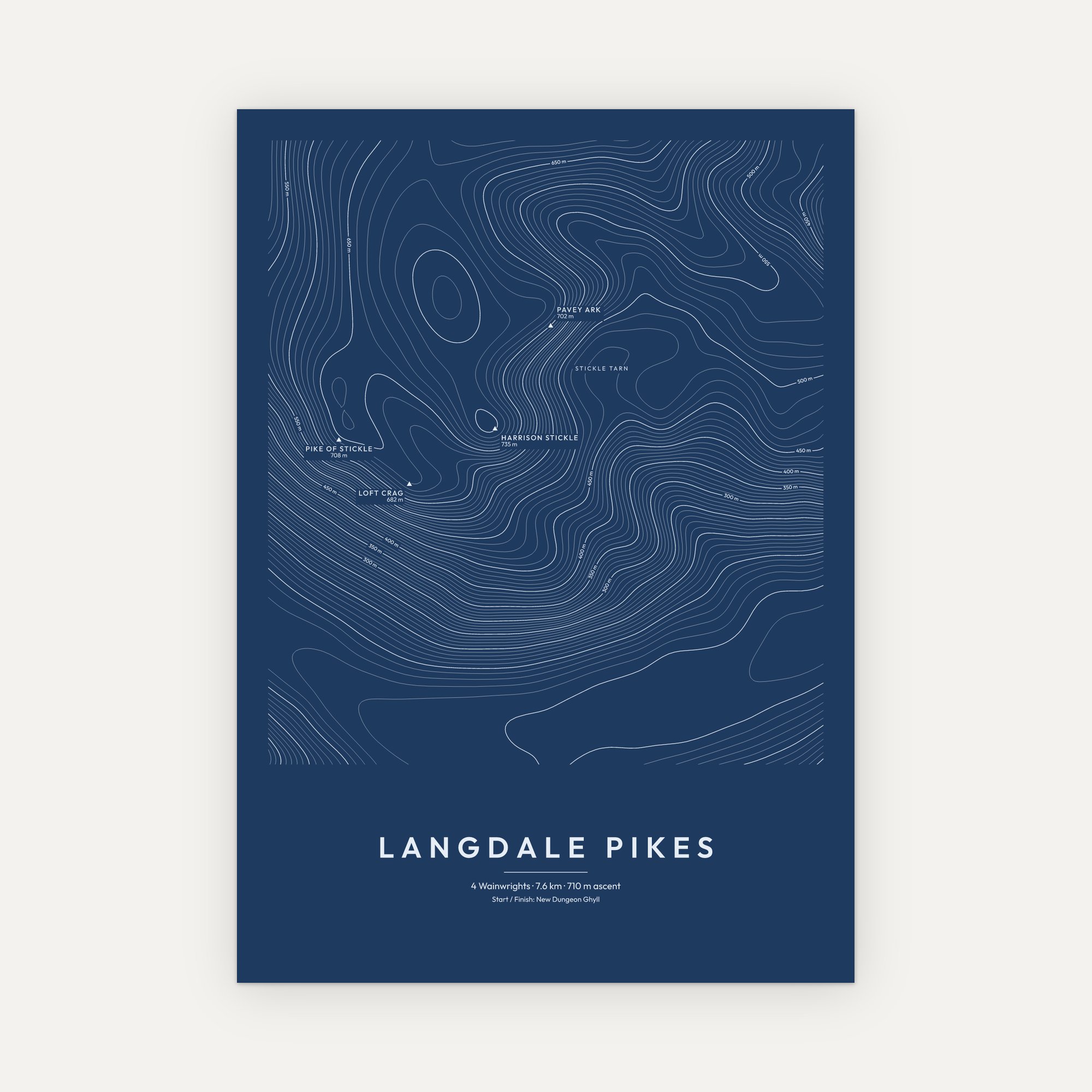
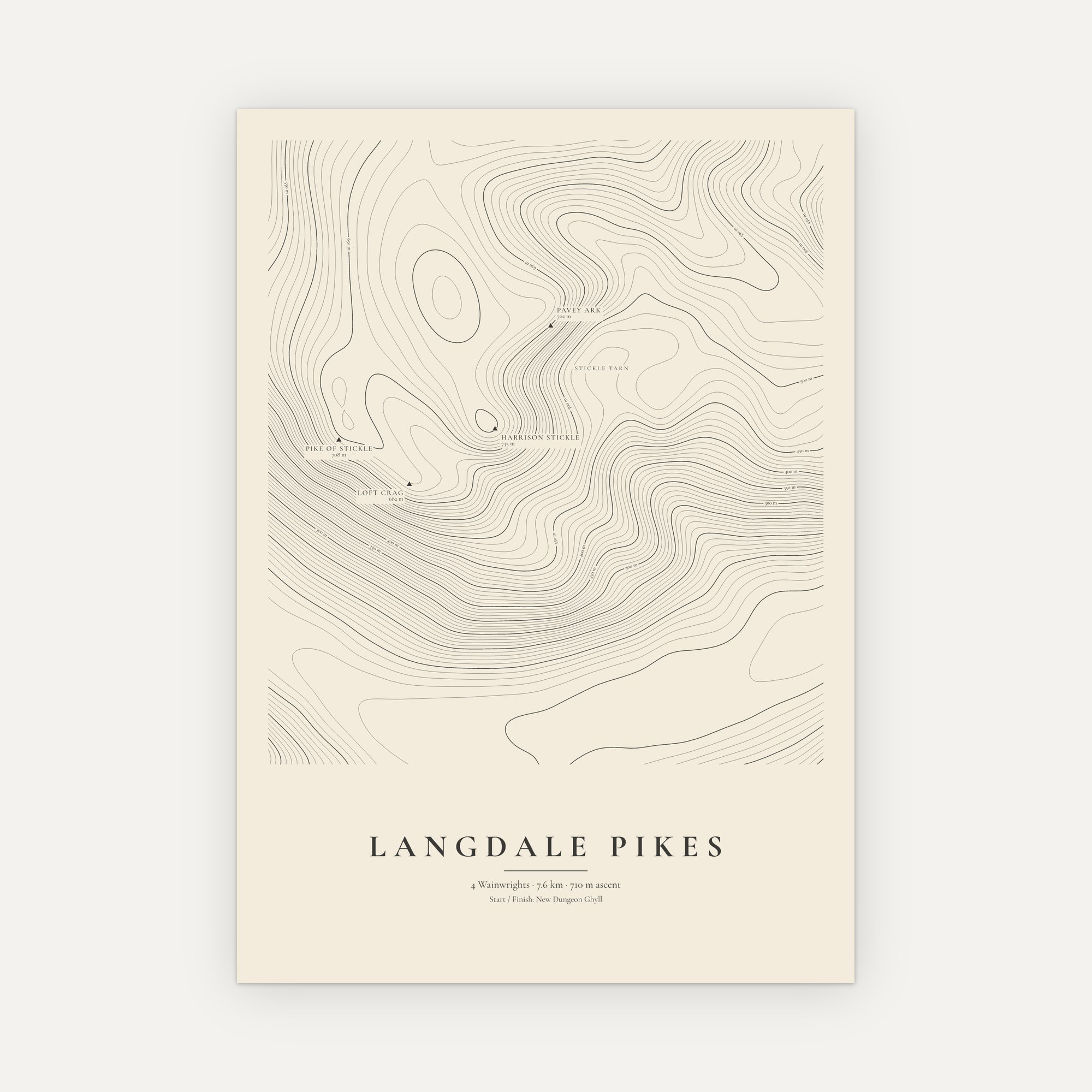
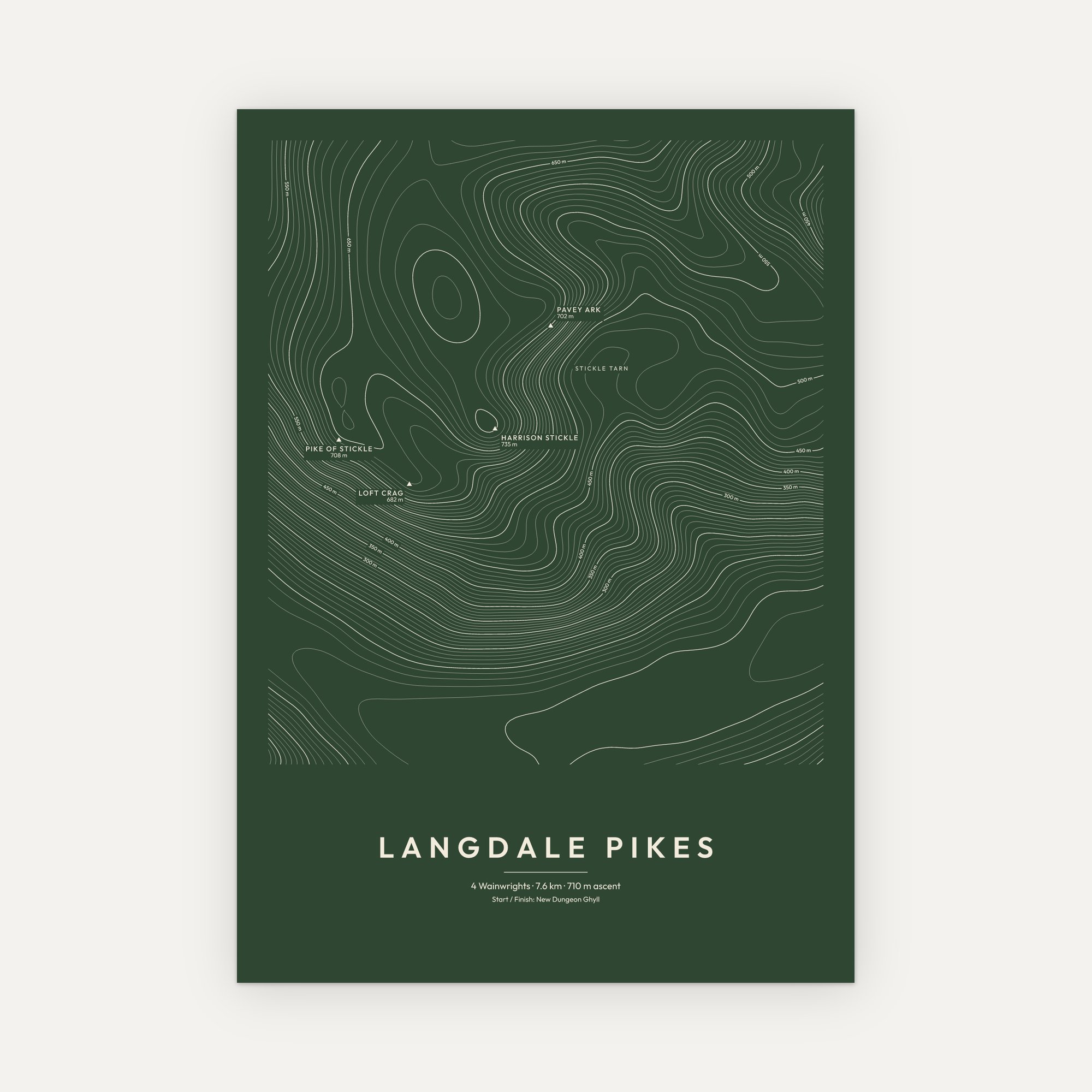
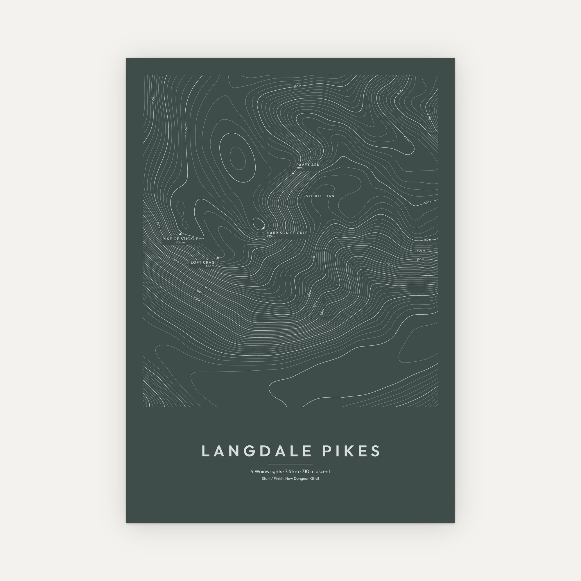
Langdale Pikes Contour Map Print
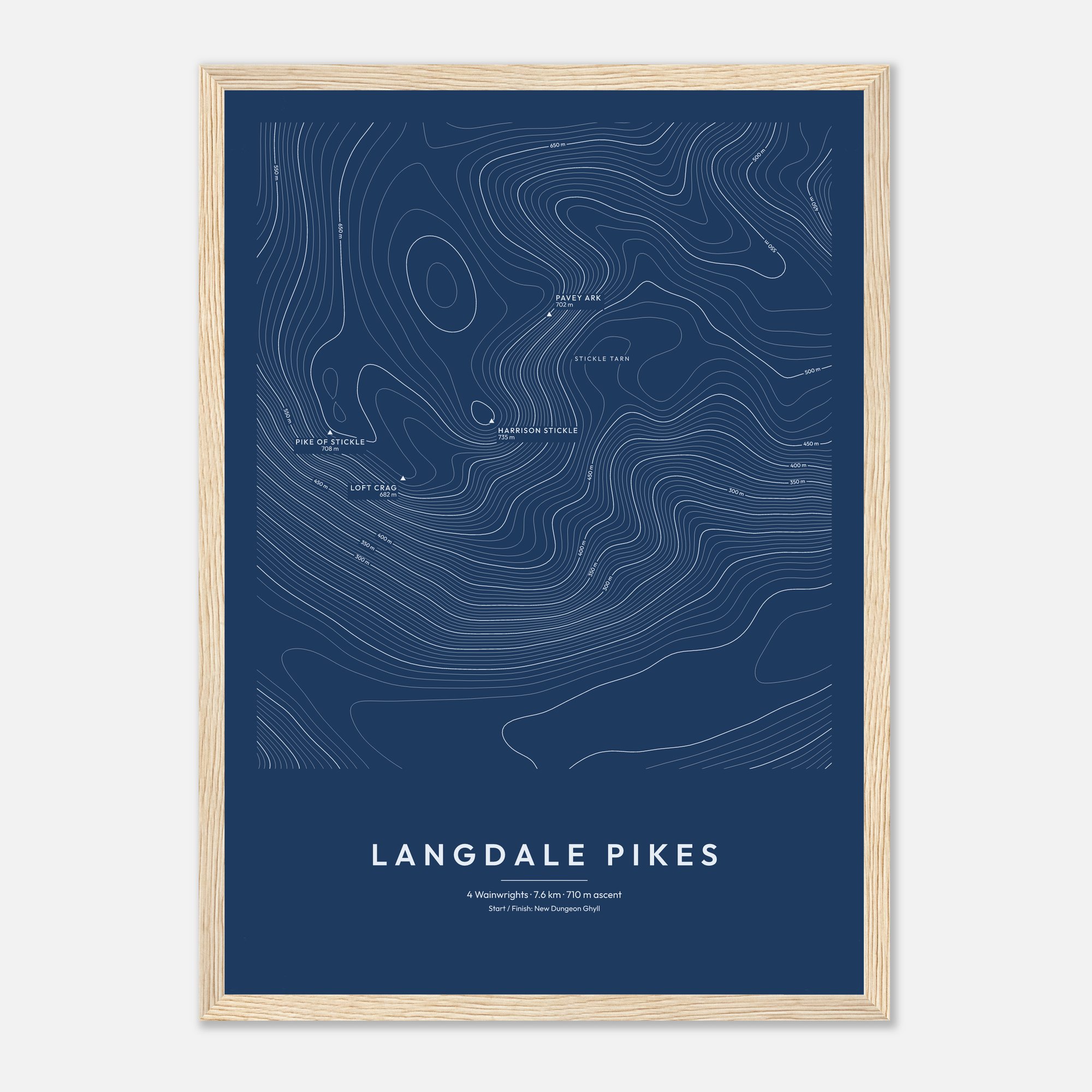
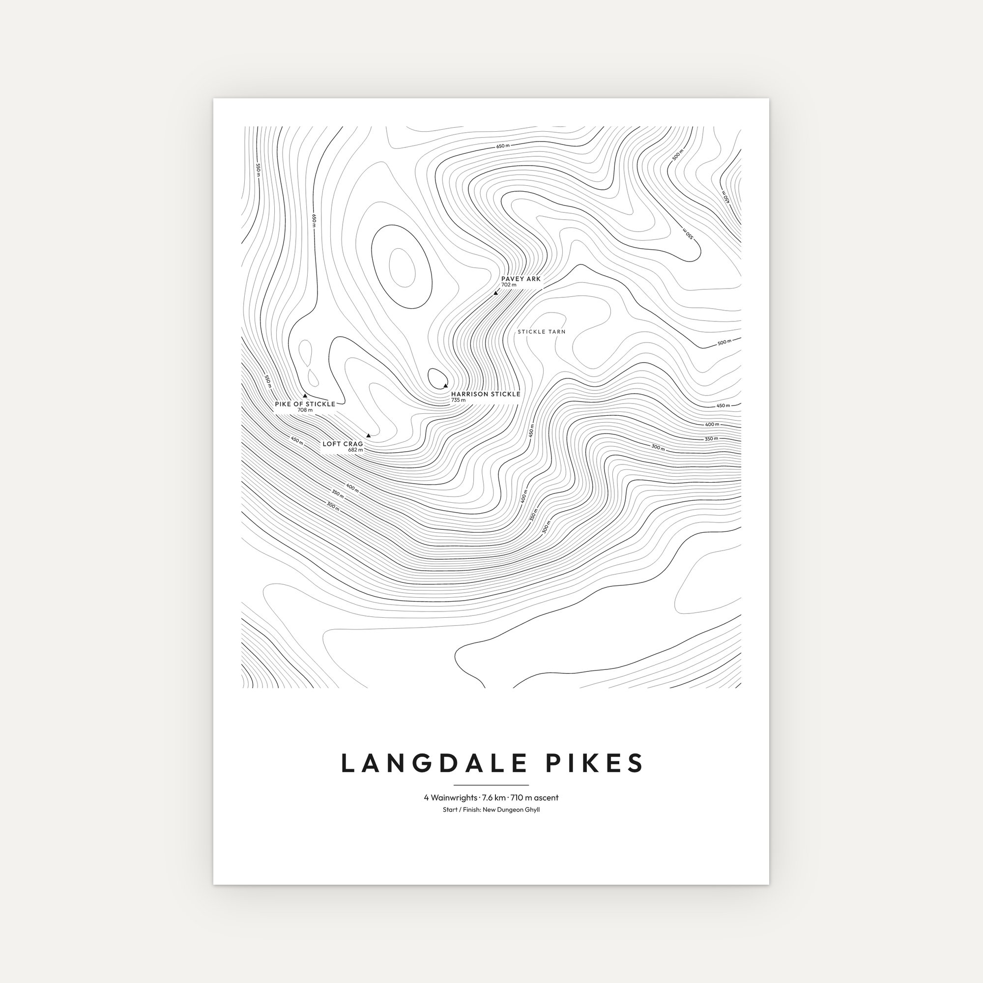
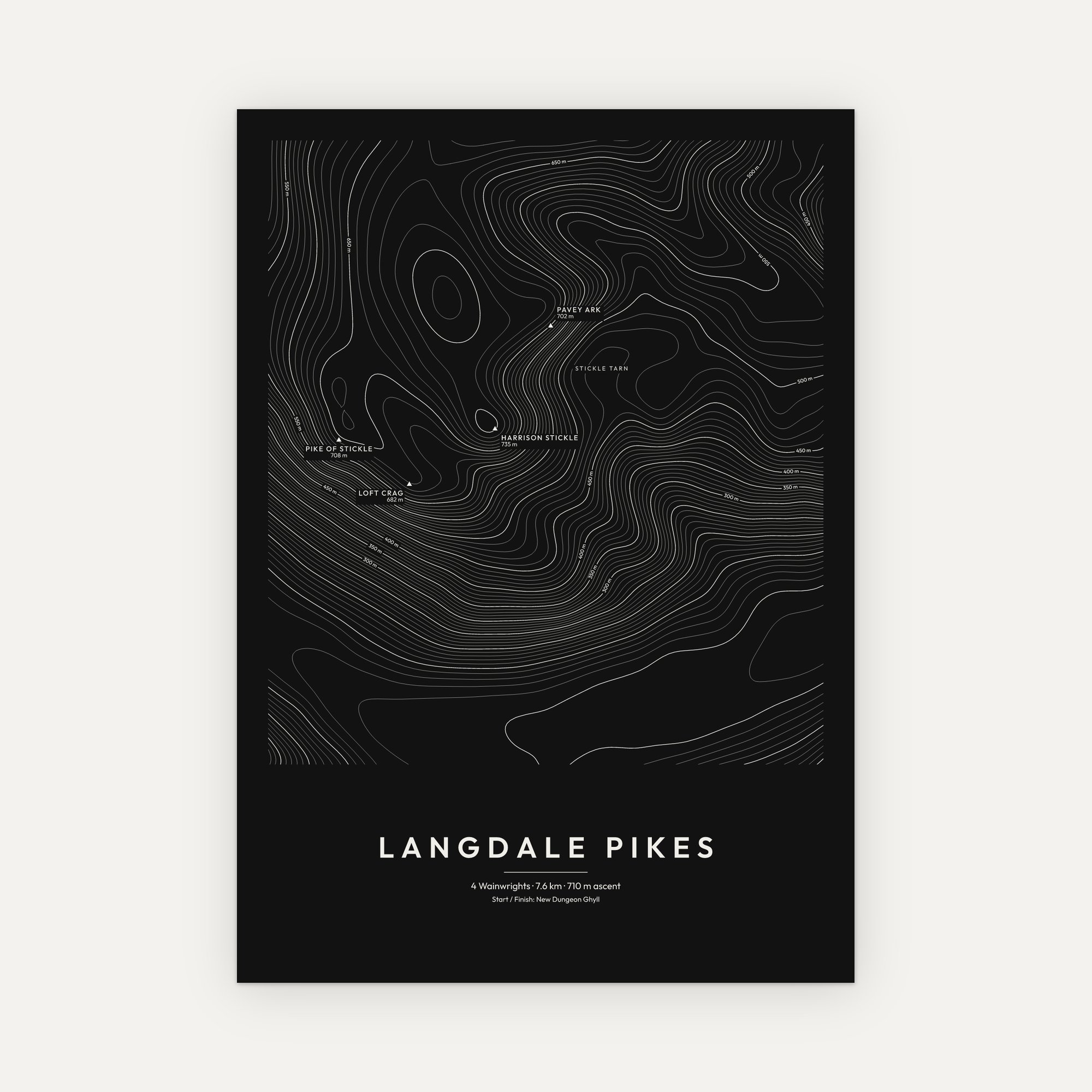
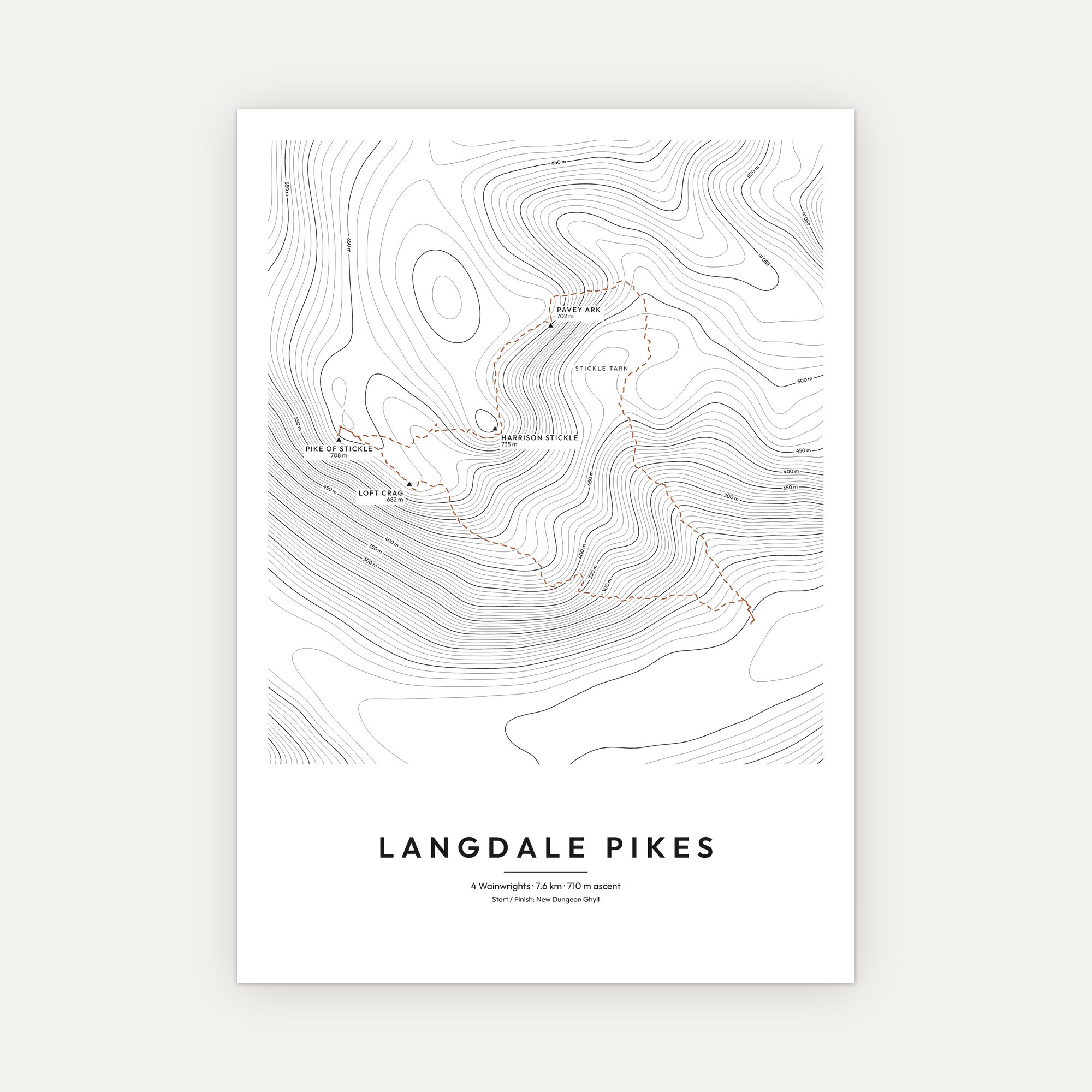
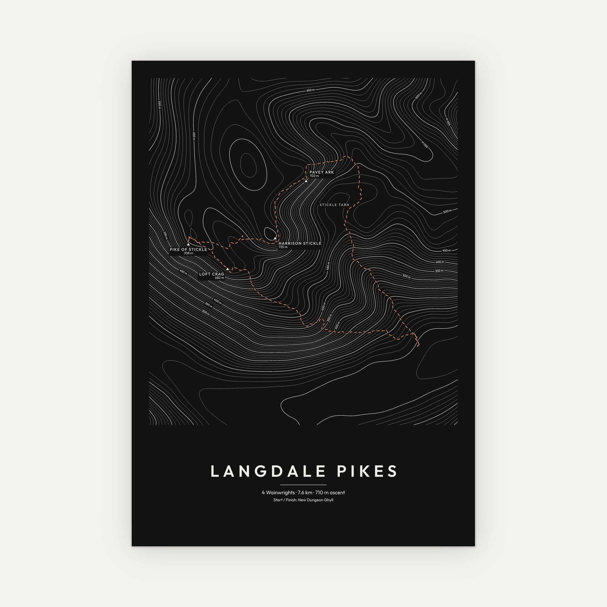
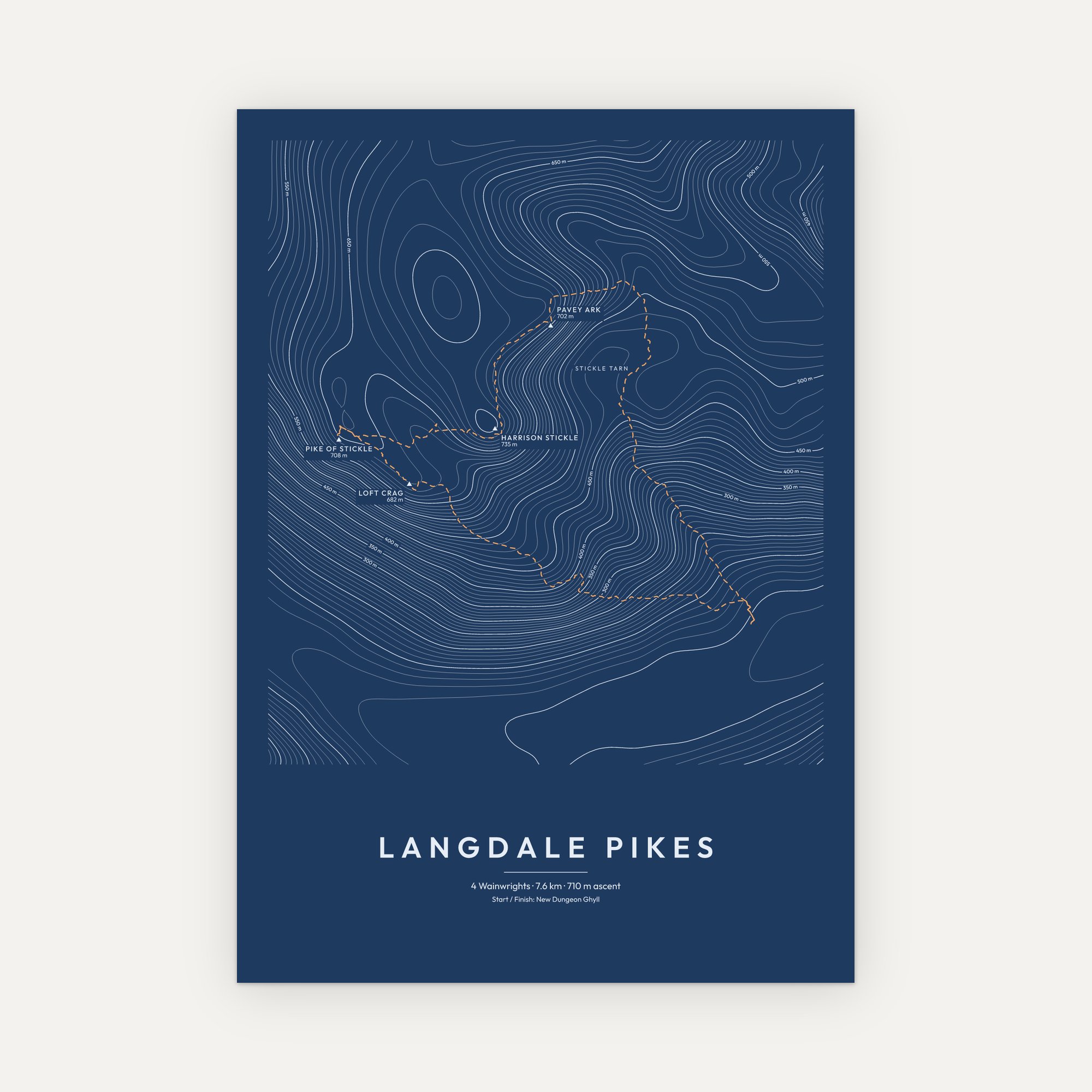
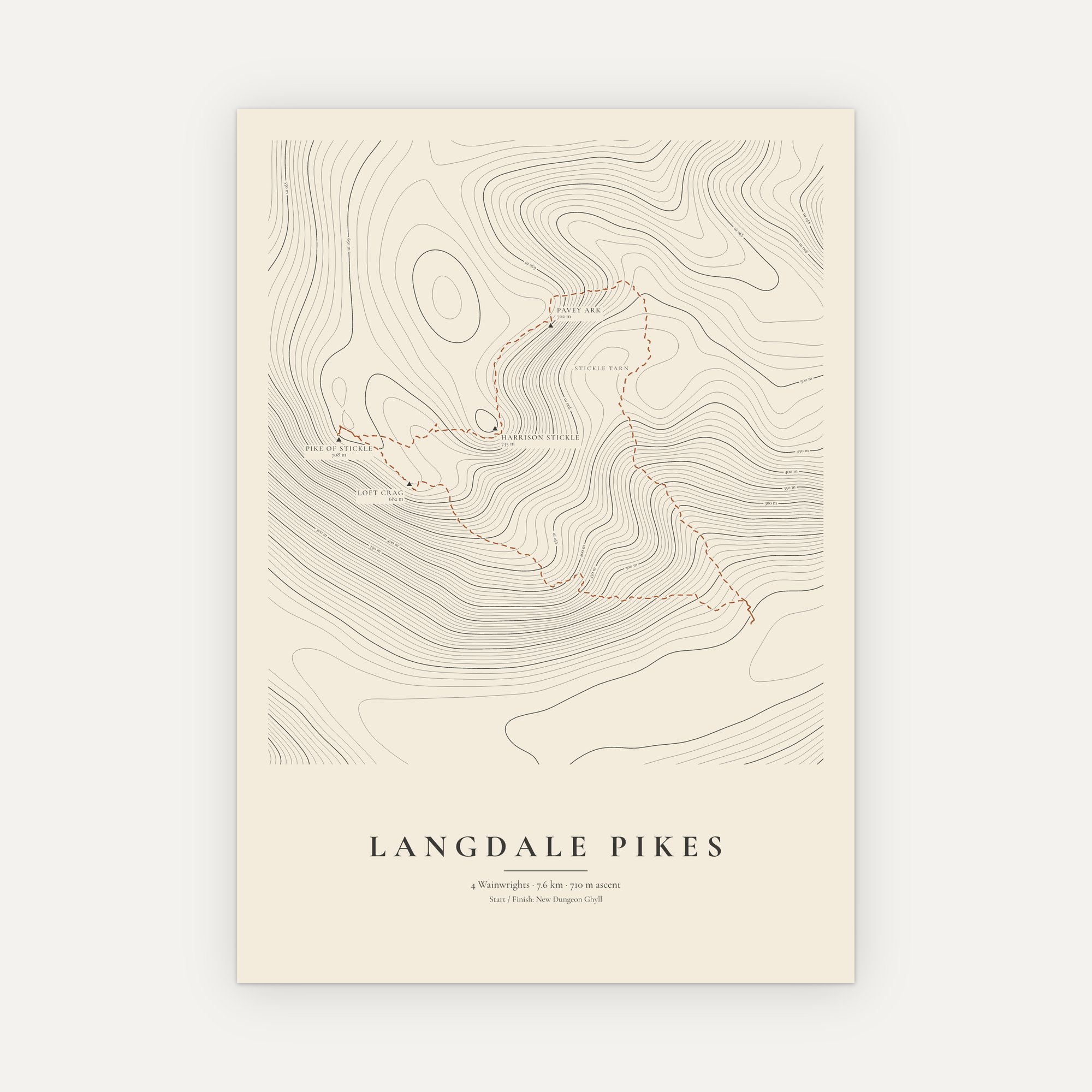
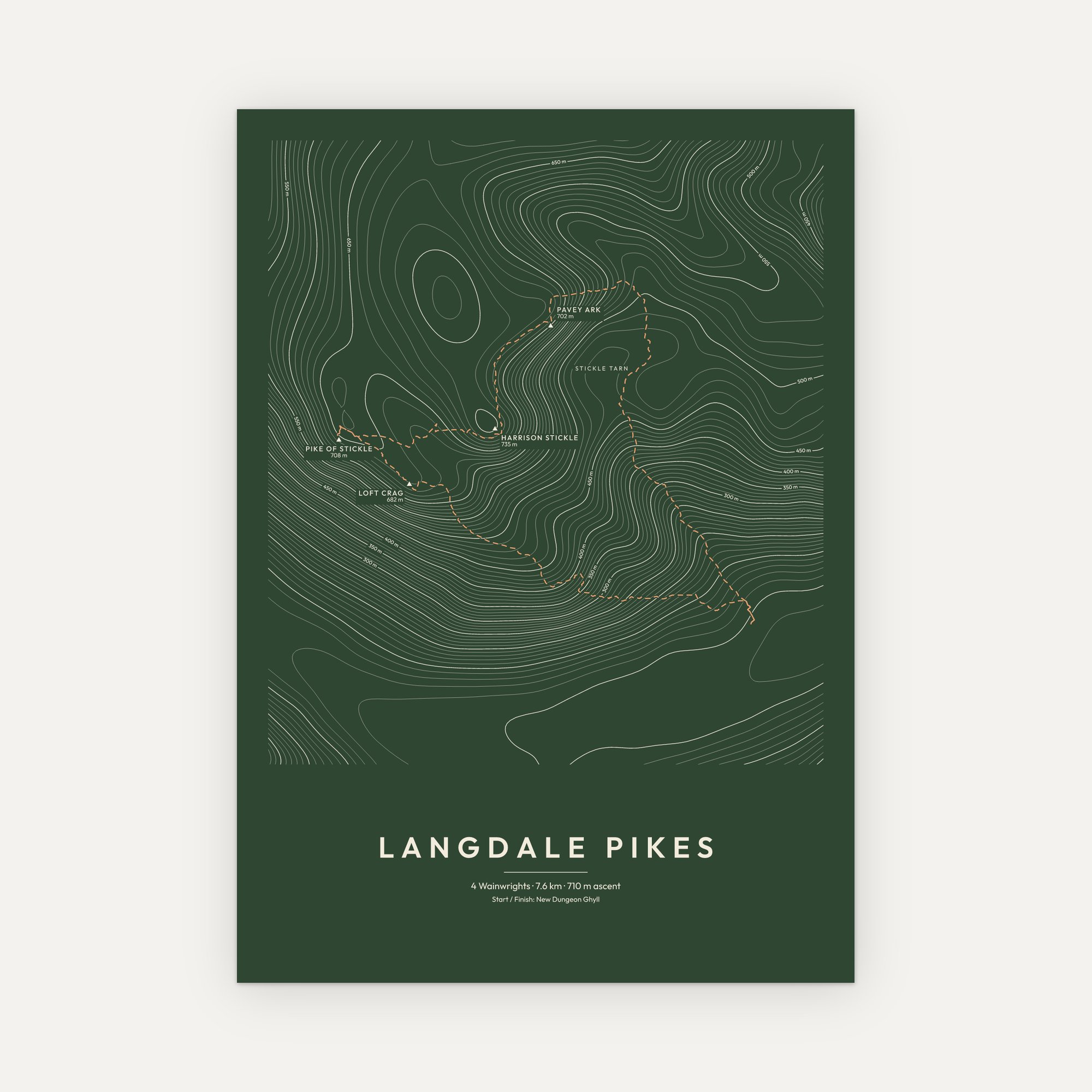
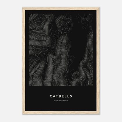
Few skylines in the Lake District are as recognisable as the Langdale Pikes, the jagged row of summits that rises straight out of the floor of Great Langdale. This print draws them as contour lines: Pavey Ark’s great crag above Stickle Tarn, Harrison Stickle at 735 m, the neat dome of Pike of Stickle, and Loft Crag looking down the valley.
Every contour is a step up in height, so the drama of the place shows at a glance: the cliffs bunched tight together, the tarn tucked into its hollow, and the long slopes falling away into Langdale. Each summit is marked and named with its height, and, if you choose it, the classic round from the valley is traced as a fine dashed line.
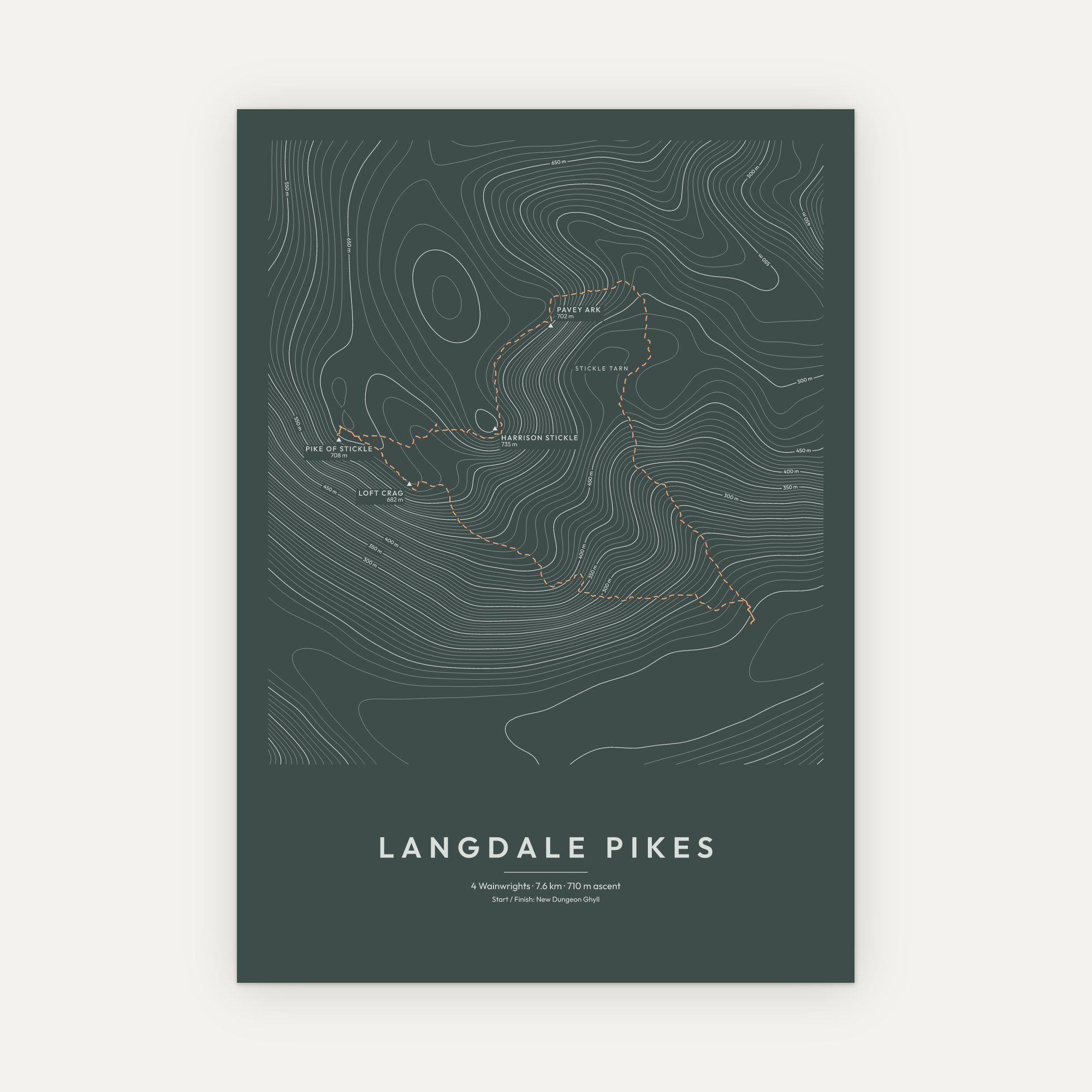
Drawn from real elevation data with surveyed summit heights. Printed to order in six colour styles and three sizes, unframed or in a solid wood frame ready to hang.
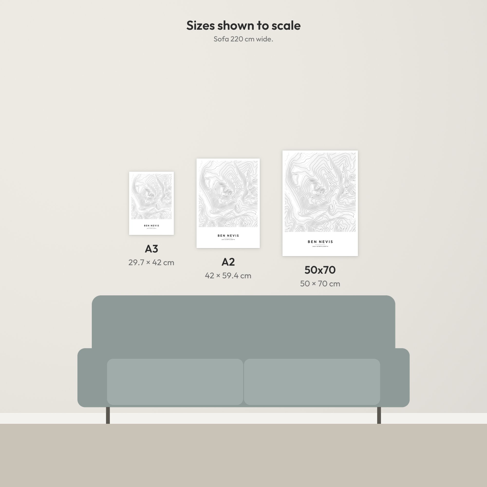
- Sizes: A3 (29.7 × 42 cm), A2 (42 × 59.4 cm), 50 × 70 cm
- Paper: 170 gsm matte, FSC-certified
- Frames: solid pine in four finishes (black, white, natural wood, dark wood), with a shatterproof clear front, ready to hang
- Delivery: free UK delivery, printed to order
About the Langdale Pikes
Most walkers start at New Dungeon Ghyll and climb beside Stickle Ghyll to Stickle Tarn, with Pavey Ark’s 200-metre crag rising behind the water. From there the round takes in all four tops, including Harrison Stickle, the highest of the Pikes, and Pike of Stickle, whose scree slopes hide a Neolithic secret: it was a stone axe “factory”, and Langdale axes have been found right across Britain.
The Pikes are a favourite for anyone working through the 214 Wainwrights, and a print that anyone who’s seen that skyline from Elterwater or Windermere will know at once.
Terrain: produced using Copernicus WorldDEM-30 © DLR e.V. 2010-2014 and © Airbus Defence and Space GmbH 2014-2018 provided under COPERNICUS by the European Union and ESA; all rights reserved. Hill names, heights and locations: Database of British and Irish Hills (DoBIH), CC BY 4.0, hill-bagging.co.uk/dobih. Decorative artwork, not for navigation. Terms and conditions.
Reviews
There are no reviews yet.